 STEWARD
Across all 50 states and territories
Protected wilderness, trails & watersheds
Annual community investment nationwide
Data reflects fiscal year 2024 — updated quarterly
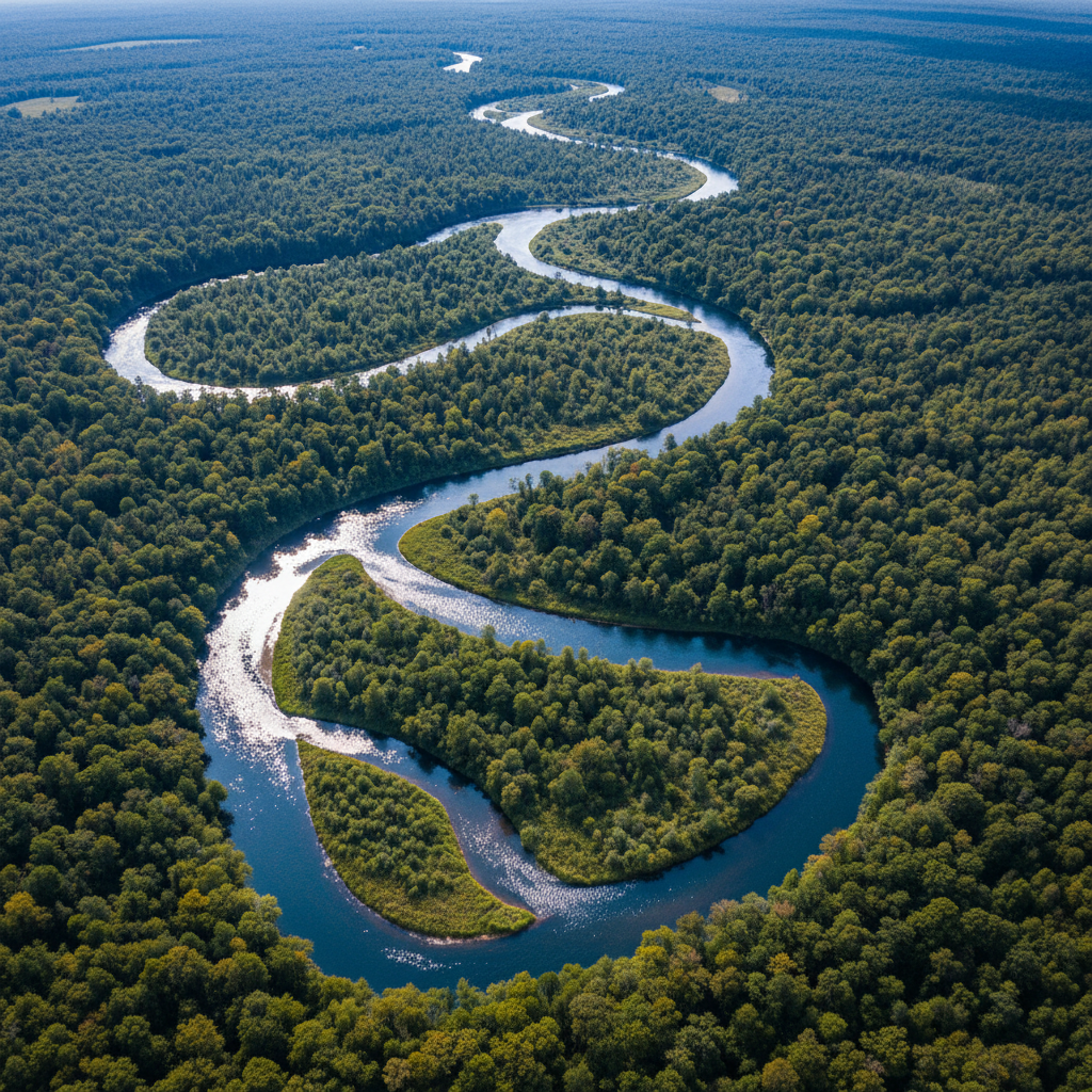
Continuous watershed telemetry across 6,200 monitoring stations
Survey Grid: NW-47°
Elevation: 4,280 ft
Acres of Prescribed Burn
Prescribed fire is the oldest and most effective land stewardship tool in the federal arsenal. Each controlled burn is planned years in advance, coordinated across jurisdictional boundaries, and executed by certified burn crews with state and tribal co-authorization.

Prescribed burn operations, Great Basin National Forest — FY2024 fire season
Active Program

CCC-era stone staircase, Great Smoky Mountains — constructed 1936, maintained continuously
Miles of Trail Maintained
From the hand-laid stone staircases built by Civilian Conservation Corps crews in the 1930s to the GPS-surveyed singletrack opened last season, every mile in the federal trail system is inventoried, assessed, and maintained to the same standard — permanence over expedience.
From acres to communities.
The land we hold in trust is not abstract acreage — it is the economic foundation of hundreds of American communities. Every trail maintained, every watershed protected, every campsite opened represents employment, tax revenue, and generational continuity for the towns at its edge.
National Parks & Monuments
Annual Visitor Engagements
Direct Employment Positions
Gateway Communities
Community Economic Impact
Source: Federal Land Management Economic Report, FY2024. Data reflects direct and indirect economic contribution.
The data made collaboration inevitable.
Federal land programs operate at a scale that no single agency can match. Tell us your objective — we have the framework, the acreage, and the mandate.
2024 Federal Lands Cooperation Framework
The definitive guide to co-stewardship agreements, grant alignment structures, and compliance frameworks for municipal, state, and tribal land partners. 148 pages. Updated February 2024.